



SmartCity Budapest Transport

Description of SmartCity Budapest Transport
SmartCity is a totally free, OFFLINE public transport information application for Budapest. SmartCity offers a vector based map with address search, a public transport route planner and the full schedule of all the public transport lines of Budapest. The full functionality of SmartCity can be used offline.
Key features:
• Modern easy to use user interface based on out 6 years experience on mobile public transport applications.
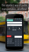
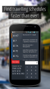
• Offline full timetable of public transport lines including bus, metro, tram, train, suburban train and night lines.
• Timetable data based on the public official GTFS feeds of BKK ( Centre for Budapest Transport)
• Offline map based on OpenStreetMap data.
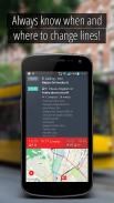
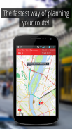
• Visualization of planned route on the map, with vehicle types and connections and visualization of any public transport line with stops
• Ease-of-use offline route planning from current position or from a selected location at any given time with alternative routes
• Offline address database for a quick address search and reverse geocode
• Using current time and position, the routes and timetables of near-by lines can be visualized
• Automated route planning to all favorite destination without network traffic
To use SmartCity Android 2.3 is required, Android 4.0 or better is recommended.</br>
</br></br></br></br></br></br></br></br>


